LakeMaster Introduces AutoChart User-generated Mapping Products
OutdoorHub 07.08.13
New products let anglers chart unmapped waters and scrutinize ‘spot-on-the-spot’ locations
Imagine being able to map your favorite uncharted bodies of water, revealing fish-holding structure in stunning contour lines, finally giving you a visual of what’s below. And what if you had the ability to survey your own current ‘spot-on-the-spot’ locations for the ultimate in one-of-a-kind, high-definition charts?
Now imagine a product designed by anglers and for anglers who understand the sensitive nature of this kind of information and cherish their favorite lakes and fish-holding spots the way you do.
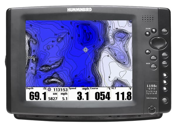
Anglers now have the ability to chart private, public and hard-to-reach waters far off the radar of DNR surveys and commercially available paper maps and digital GPS charts. That means you can finally map your own favorite lakes, reservoirs, farm ponds, ever-changing rivers—even off-the-grid Canadian waters.
Then, once finished creating your own custom map you’ll get use of LakeMaster’s three key patented features of Shallow Water Highlight, Depth Highlight and Water Level Offset on your map. Combine your map with Minn Kota® iPilot® Link® and you can set your trolling motor to follow your custom contours! You can also offset these contour lines by any value you choose and automatically follow with your boat.
Available for a one-time purchase price, no subscription or pay-by-the-lake fees, AutoChart and AutoChart PRO put the power in anglers’ hands, not the company behind the product (or fellow anglers). The maps you generate with AutoChart will never turn up on the web or become someone else’s property. You create it, you own it.
Another competitive advantage; anglers will delight in the ease of operation. Maps are created in three simple steps for immediate use, no waiting to upload data to a server somewhere in the clouds.
FEATURES
AutoChart
- Create custom maps using the AutoChart SD card featuring over 2 million lakes with Zero Lines for your Humminbird and computer
- Patented LakeMaster features compatible with AutoChart generated contours: Depth Highlight; Water Level Offset; Shallow Water Highlight
- Follow the Contour functionality of Minn Kota I-Pilot Lin® by loading digital maps created in AutoChart into your Humminbird
- Satellite image overlay
- Works with all LakeMaster compatible Humminbird units
AutoChart PRO
- Create custom maps using the AutoChart SD card featuring over 2 million lakes with Zero Lines for your Humminbird and computer
- Patented LakeMaster features compatible with AutoChart generated contours: Depth Highlight; Water Level Offset; Shallow Water Highlight
- Follow the Contour functionality of Minn Kota I-Pilot Link by loading digital maps created in AutoChart into your Humminbird
- Satellite image overlay
- Bottom Hardness indicating various levels of bottom composition
- Merge Side Imaging Mosaic data onto the map for 3D visualization of fish-holding habitat — the ultimate in coverage
The official product launch is scheduled for 10:30 am on Wednesday, July 10, at ICAST booth #122.

